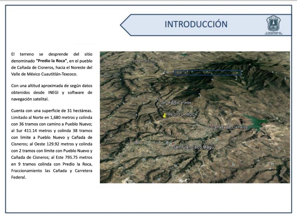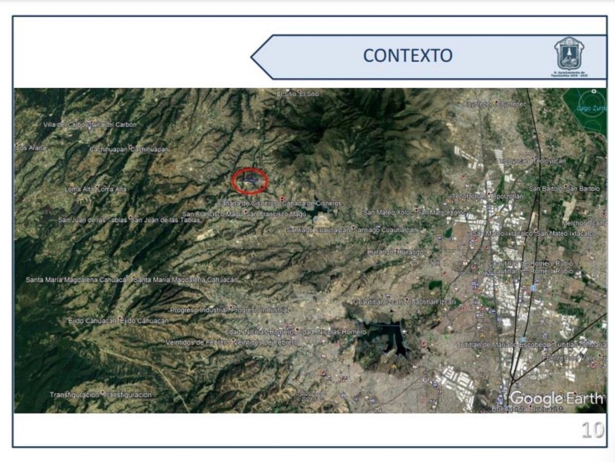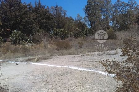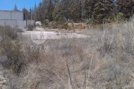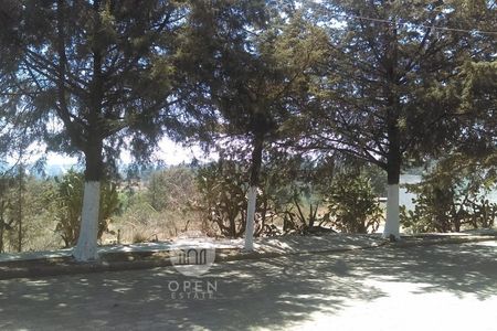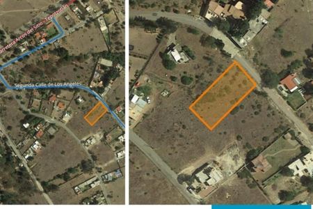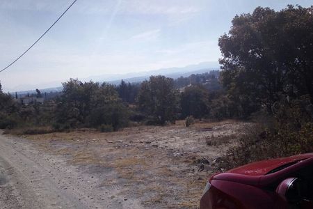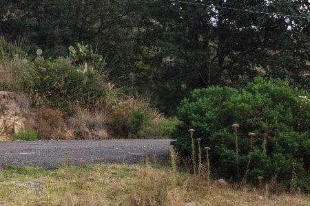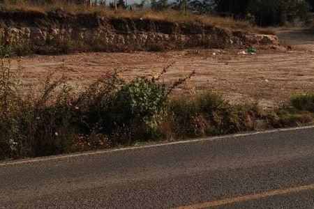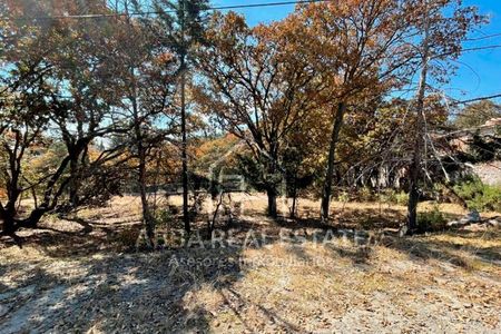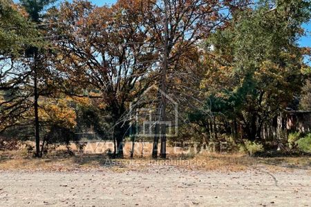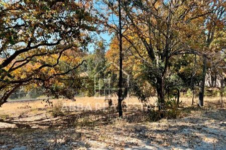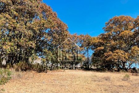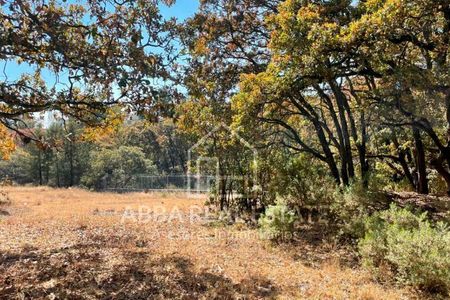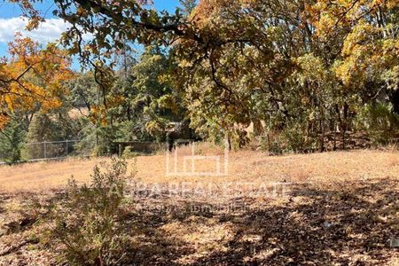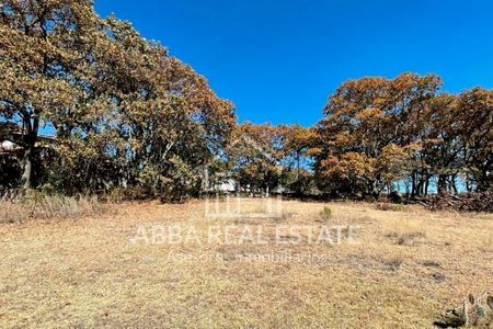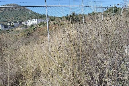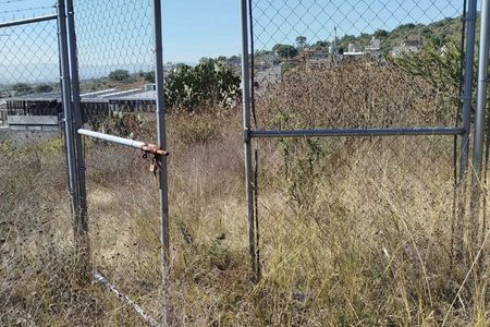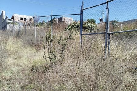
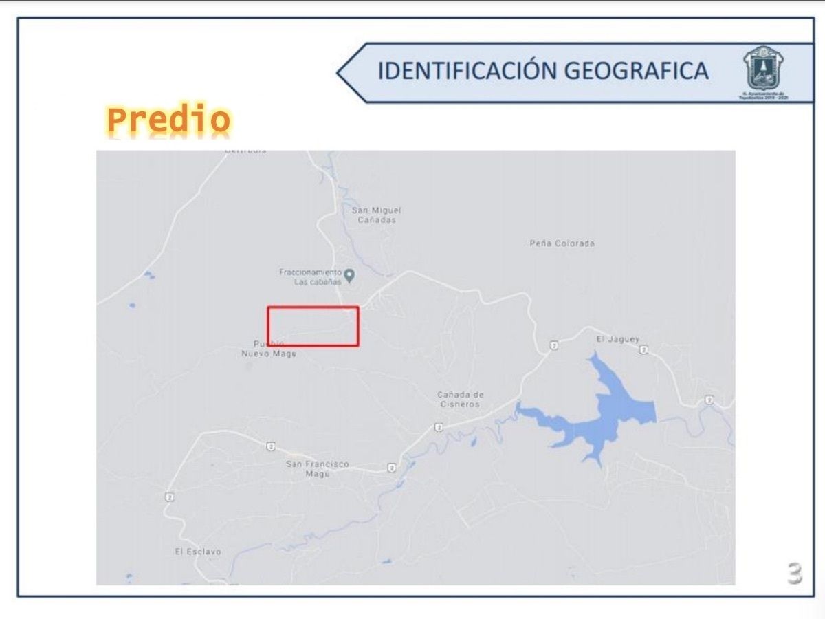

"Predio la Roca", in the town of Cañada de Cisneros, Northeast of the Valley of Mexico Cuautitlán-Texcoco.
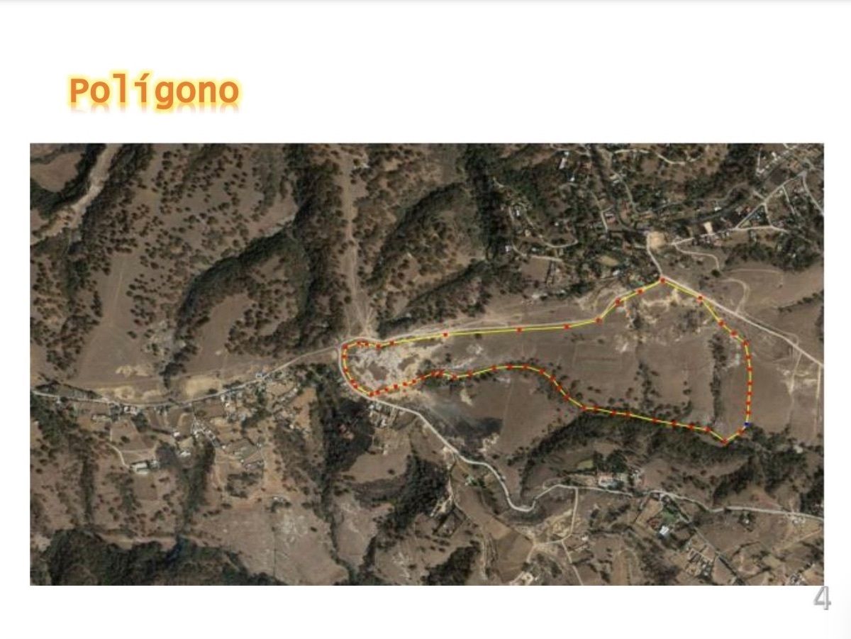
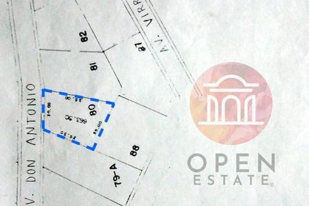
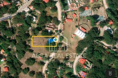
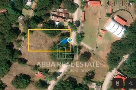
-MEASUREMENTS- Area 31 hectares.
TO THE NORTH 1,680m and borders 36 sections with the road to Pueblo Nuevo; TO THE SOUTH 411.14m and borders 38 sections with the limit to Pueblo Nuevo and Cañada de Cisneros; TO THE WEST 129.92m and borders 2 sections with the limit with Pueblo Nuevo and Cañada de Cisneros; TO THE EAST 795.75m in 9 sections borders with Predio la Roca, Colonia las Cañada and Federal Highway.
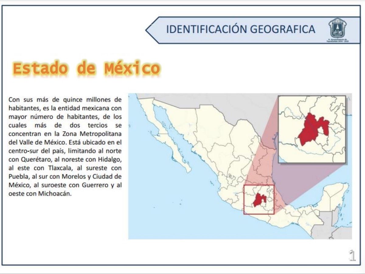
-STATE OF MEXICO- More than fifteen million inhabitants, it is the Mexican entity with the highest number of inhabitants, of which more than 2/3 are concentrated in the Metropolitan Area of the Valley of Mexico. Located in the center-south of the country, bordering to the north with Querétaro, to the northeast with Hidalgo, to the east with Tlaxcala, to the southeast with Puebla, to the south with Morelos and Mexico City, to the southwest with Guerrero and to the west with Michoacán.
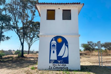
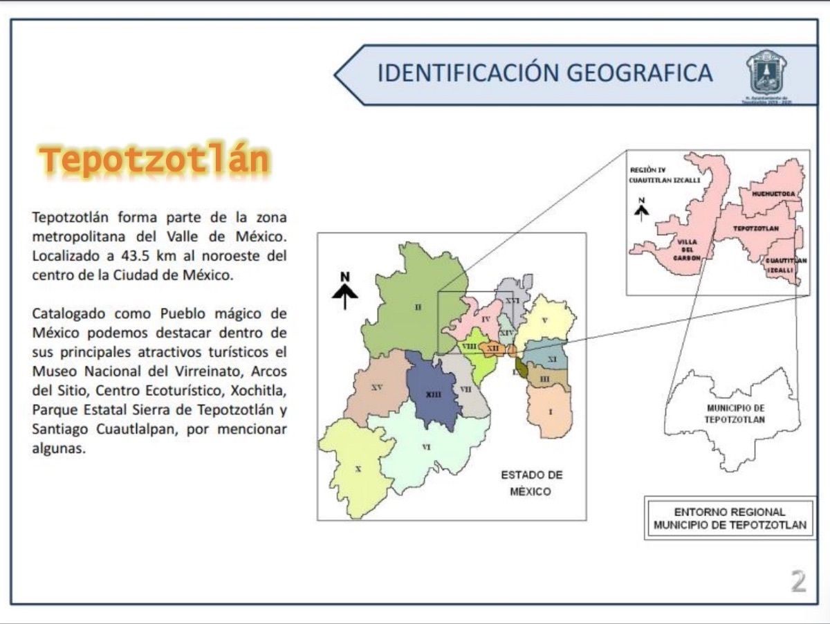
-TEPOTZOTLAN- is part of the metropolitan area of the Valley of Mexico. Located 43.5 km northwest of the center of Mexico City. Cataloged as a Magical Town of Mexico with its main tourist attractions: The National Museum of the Viceroyalty, Arcos del Sítio, Ecotourism Center, Xochitla, Tepotzotlán State Park and Santiago Cuautlalpan.
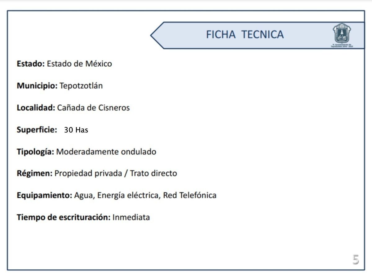
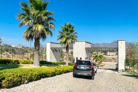
-TECHNICAL DATA- Road to Pueblo Nuevo, Cañada de Cisneros, Municipality of Tepotzotlán, State of Mexico. AREA: 30 Has. TYPOLOGY: Moderately undulating. REGIME: Private property. EQUIPMENT: Water, Electricity, Telephone Network. TIME OF WRITING: Immediate
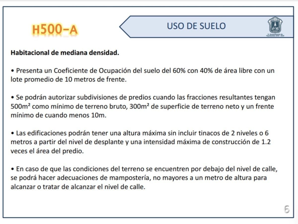
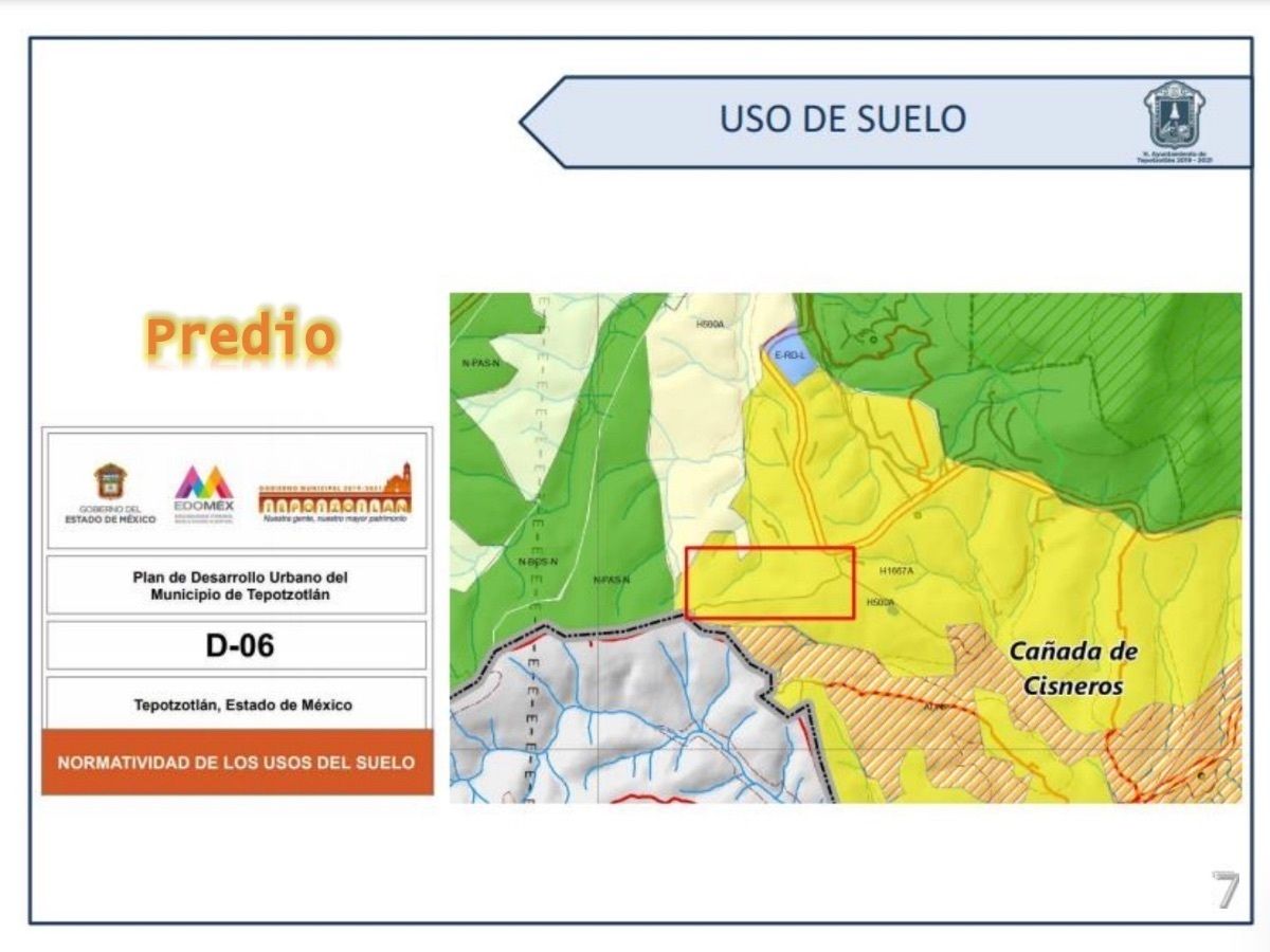
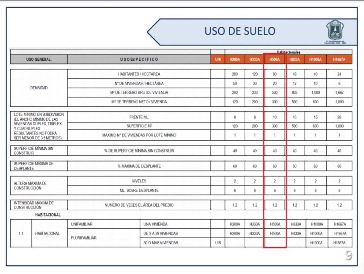
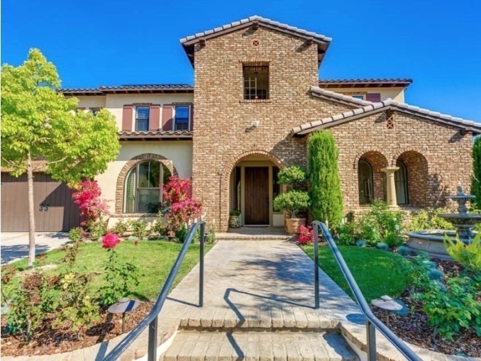
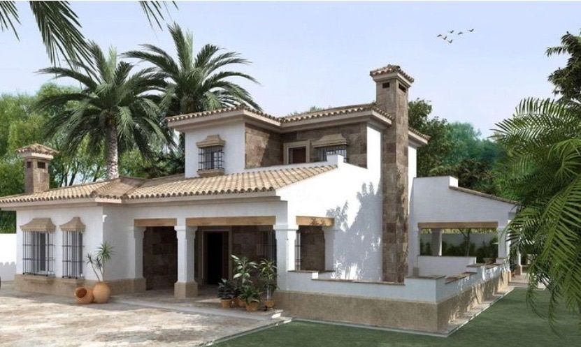
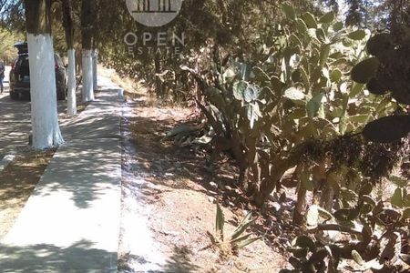
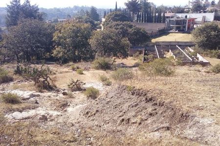
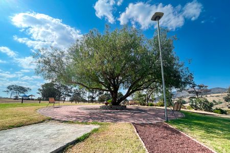
-LAND USE H500-A, -Medium density residential. • It presents a Land Occupation Coefficient of 60% with 40% free area with an average lot of 10 meters in front. • Subdivisions of properties may be authorized when the resulting fractions have a minimum of 500m2 of gross land, 300m2 of net land area and a minimum front of 10 meters. • Buildings may have a maximum height excluding water tanks of 2 levels or 6 meters from the foundation level and a maximum construction intensity of 1.2 times the area of the property. • If the conditions of the land are below street level, masonry adjustments may be made, not exceeding one meter in height to reach or try to reach street level.
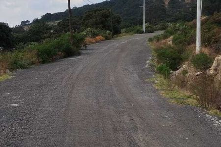
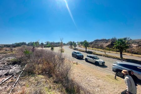
-FEDERAL, STATE HIGHWAYS AND LOCAL ROADS OR ALIGNMENTS- At the regional level, there is the Mexico-Querétaro highway that crosses the eastern part of the municipality next to the municipal seat, which connects the municipality of Tepotzotlán with the municipalities in the north of the State of Mexico, being one of the most important highways in the region and a gateway to Mexico City, a route known as "Free Trade Agreement (TLC) Highway", mainly connecting the northern and central areas of the country. At the sub-regional level, the federal highway Mexico-Querétaro connects the different municipalities of the State of Mexico, passing through Cuautitlán Izcalli, Nicolás Romero, Villa del Carbón, Coyotepec and Tepeji del Río in the State of Hidalgo.
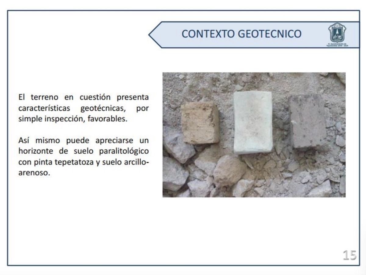
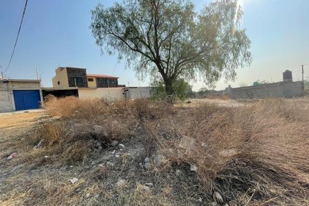
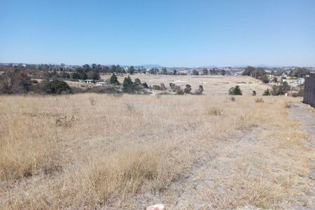
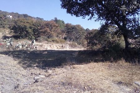
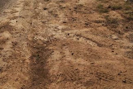
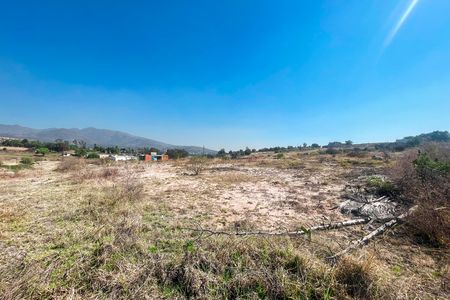
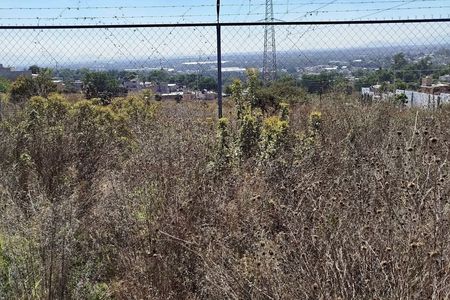
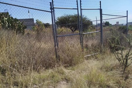
-GEOTECHNICAL CONTEXT- Superficially, the area is not altered by anthropogenic action. By superficial inspection, it was determined according to the change in soil coloration the location of the sampling and the corresponding mapping for unaltered samples, as established in the SCT manual M-MMP-1-01/03, where the procedures for obtaining soil samples referred to in the N-CMT-1-01, N-CMT-1-02, N-CMT-1-03 standards are described, in order to determine the characteristics of those materials or verify that they meet the quality requirements described in those standards or in specific project specifications.
The land in question presents favorable geotechnical characteristics, by simple inspection.“Predio la Roca”, en el pueblo de Cañada de Cisneros, Noreste del Valle de México Cuautitlán-Texcoco.
-MEDIDAS- Superficie 31 hectáreas.
AL NORTE en 1,680m y colinda con 36 tramos con camino a Pueblo Nuevo; AL SUR 411.14m y colinda 38 tramos con limite a Pueblo Nuevo y Cañada de Cisneros; AL OESTE 129.92m y colinda con 2 tramos con límite con Pueblo Nuevo y Cañada de Cisneros; AL ESTE 795.75m en 9 tramos colinda con Predio la Roca, Colonia las Cañada y Carretera Federal.
-ESTADO DE MÉXICO- Más de quince millones de habitantes, es la entidad mexicana con mayor número de habitantes, de los cuales más de 2/3 se concentran en la Zona Metropolitana del Valle de México. Ubicado en el centro-sur del país, limitando al norte con Querétaro, al noreste con Hidalgo, al este con Tlaxcala, al sureste con Puebla, al sur con Morelos y Ciudad de México, al suroeste con Guerrero y al oeste con Michoacán.
-TEPOTZOTLAN- forma parte de la zona metropolitana del Valle de México. Localizado a 43.5 km al noroeste del centro de la Ciudad de México. Catalogado como Pueblo mágico de México con sus principales atractivos turísticos: El Museo Nacional del Virreinato, Arcos del Sítio, Centro Ecoturístico, Xochitla, Parque Estatal Sierra de Tepotzotlán y Santiago Cuautlalpan.
-FICHA TÉCNICA- Camino a Pueblo Nuevo, Cañada de Cisneros, Municipio de Tepotzotlán, Estado de México. SUPERFICIE: 30 Has. TIPOLOGÍA: Moderadamente ondulado. REGIMÉN: Propiedad privada. EQUIPAMIENTO: Agua, Energía eléctrica, Red Telefónica. TIEMPO DE ESCRITURACIÓN: Inmediata
-USO DE SUELO H500-A, -Habitacional de mediana densidad. • Presenta un Coeficiente de Ocupación del suelo del 60% con 40% de área libre con un lote promedio de 10 metros de frente. • Se podrán autorizar subdivisiones de predios cuando las fracciones resultantes tengan 500m2 como mínimo de terreno bruto, 300m2 de superficie de terreno neto y un frente
mínimo de 10metros. • Las edificaciones podrán tener una altura máxima sin incluir tinacos de 2 niveles o 6 metros a partir del nivel de desplante y una intensidad máxima de construcción de 1.2 veces el área del predio. • En caso de que las condiciones del terreno se encuentren por debajo del nivel de calle, se podrá hacer adecuaciones de mampostería, no mayores a un metro de altura para alcanzar o tratar de alcanzar el nivel de calle.
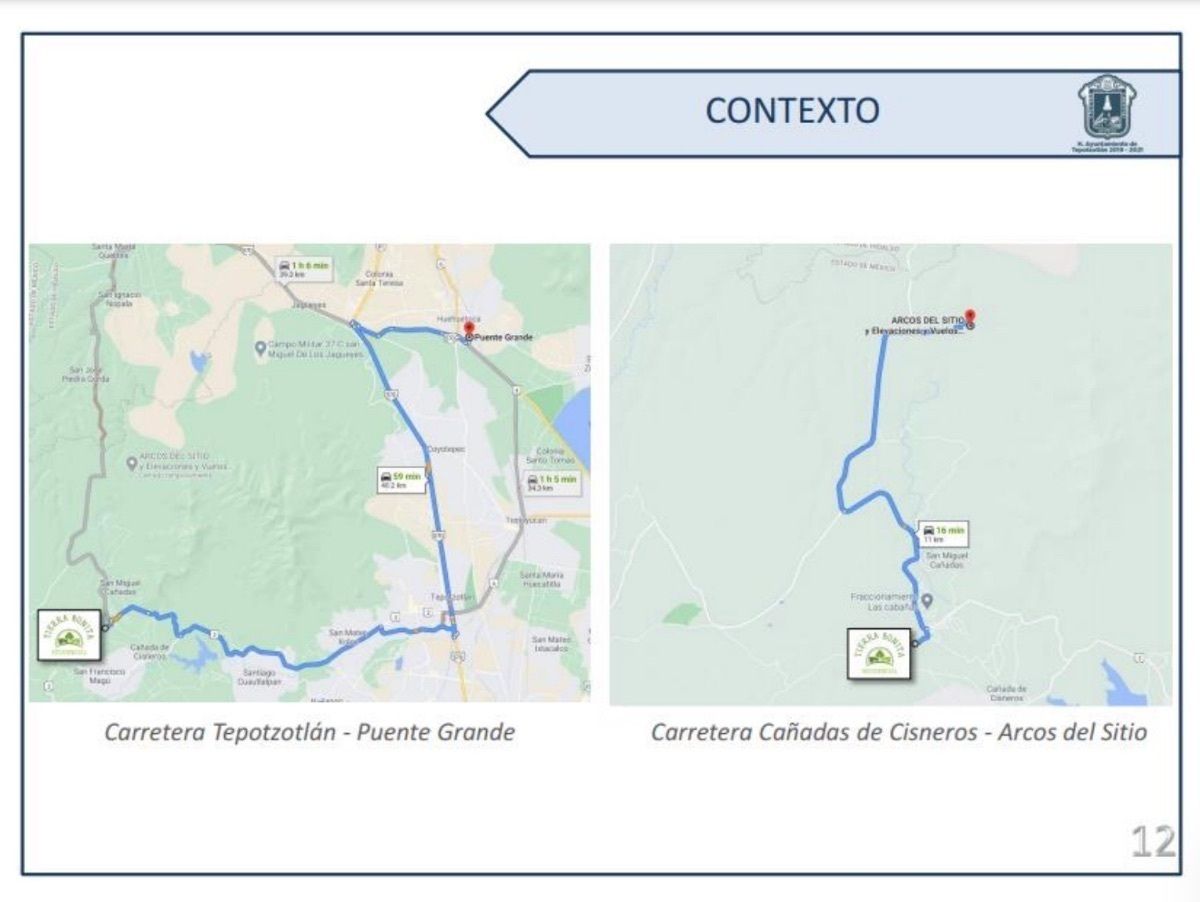
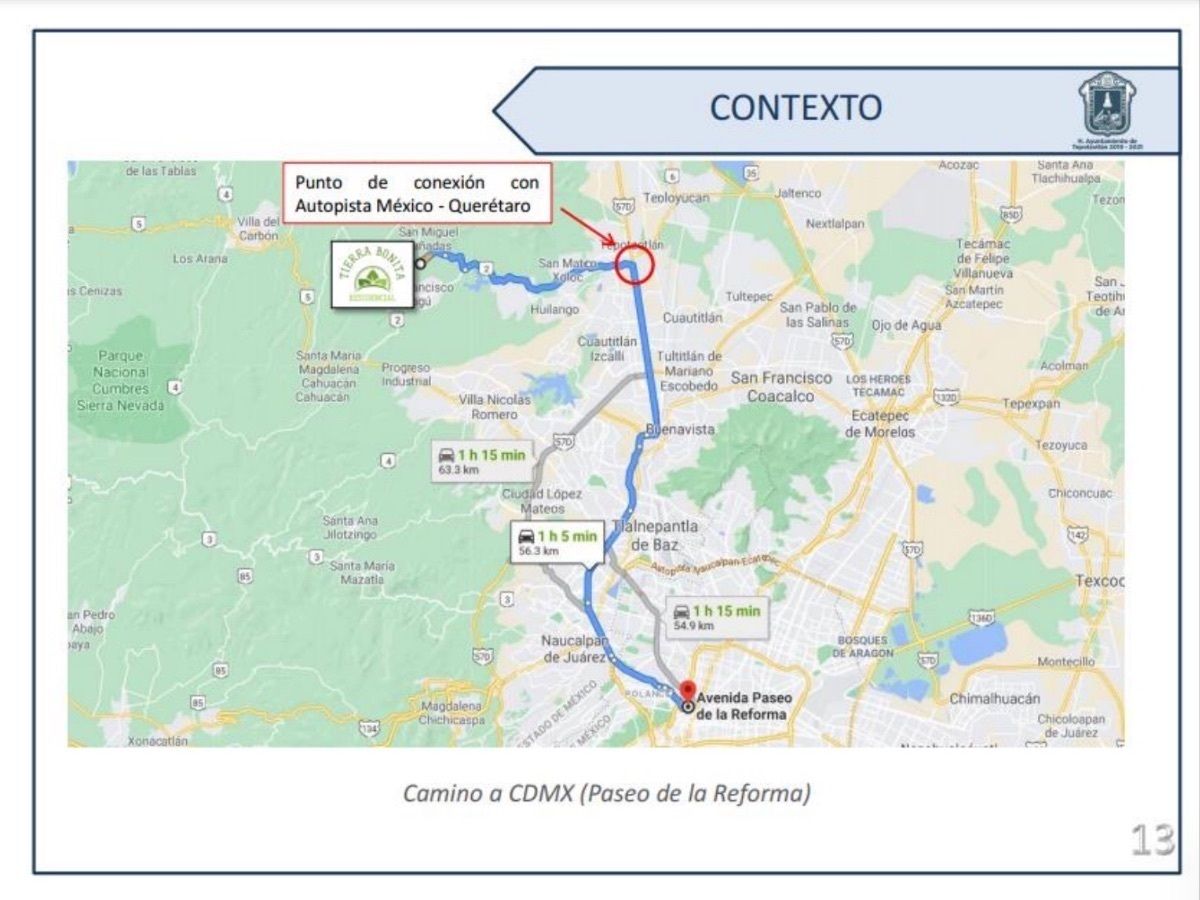
-CARRETERAS FEDERALES, ESTATALES Y CAMINOS VECINALES O ALINEAMIENTOS- A nivel regional se cuenta con la autopista México-Querétaro que cruza por la parte oriente del municipio a un costado de la cabecera municipal, la cual comunica al municipio de Tepotzotlán con los municipios del norte del Estado de México, siendo una de las autopistas más importantes de la región y una puerta de entrada a la Ciudad de México, vía denominada como "Autopista del Tratado del Libre Comercio (TLC)", comunica
principalmente a la zona norte y centro del país.
A nivel Sub-regional la carretera federal México-Querétaro comunica a los distintos municipios del Estado de México, pasando por Cuautitlán Izcalli, Nicolás Romero, Villa del Carbón, Coyotepec y Tepeji del Río en el Estado de Hidalgo.
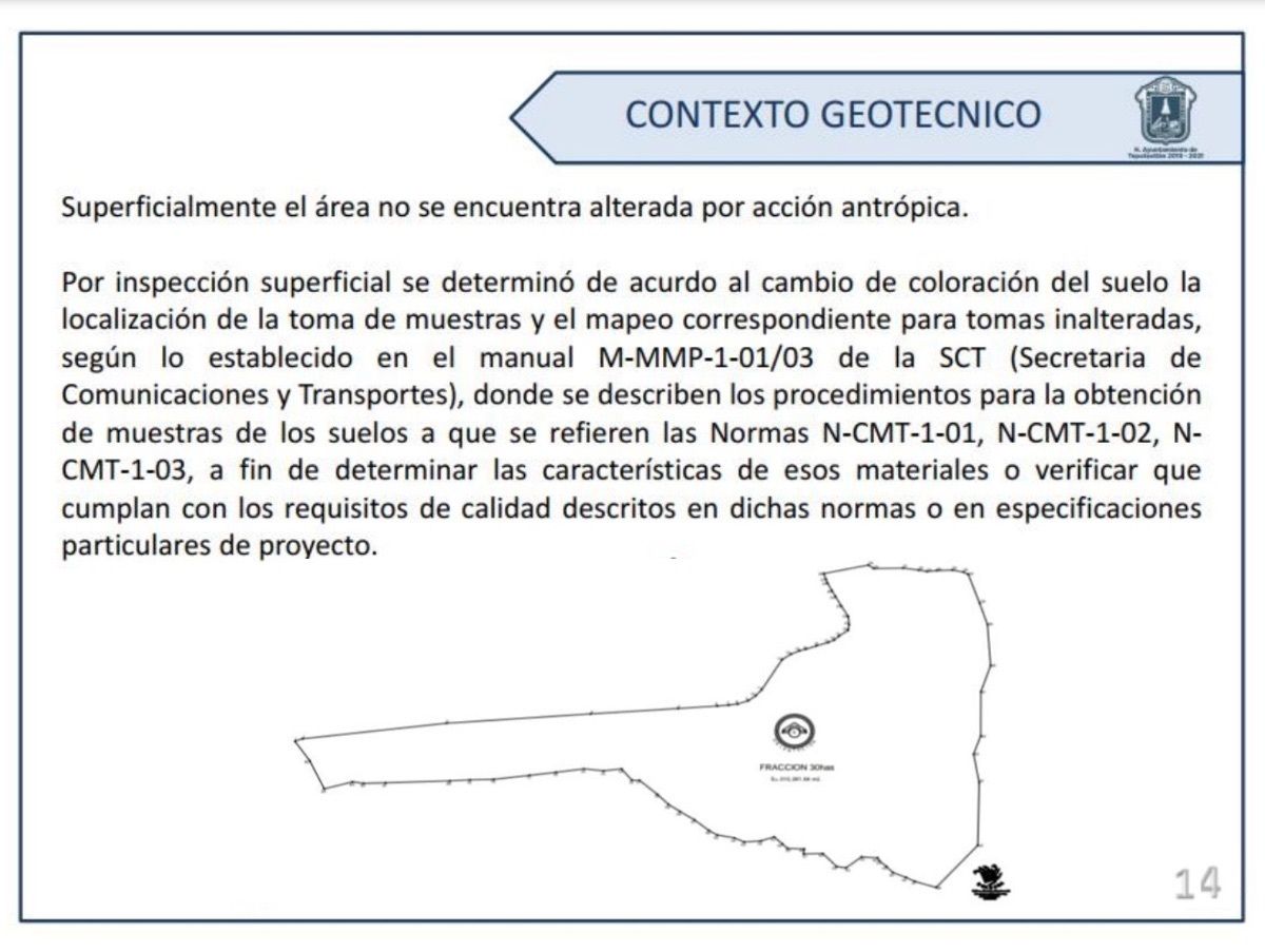
-CONTEXTO GEOTÉCNICO- Superficialmente el área no se encuentra alterada por acción antrópica. Por inspección superficial se determinó de acuerdo al cambio de coloración del suelo la localización de la toma de muestras y el mapeo correspondiente para tomas inalteradas, según lo establecido en el manual M-MMP-1-01/03 de la SCT, donde se describen los procedimientos para la obtención de muestras de los suelos a que se refieren las Normas N-CMT-1-01, N-CMT-1-02, N-CMT-1-03, a fin de determinar las características de esos materiales o verificar que cumplan con los requisitos de calidad descritos en dichas normas o en especificaciones particulares de proyecto.
El terreno en cuestión presenta características geo-técnicas, por simple inspección, favorables.


By continuing, I agree to the Terms of Service and Privacy Policy.